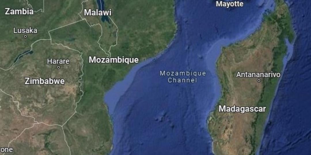
A tropical low-pressure system in the Mozambique Channel is expected to intensify in the days ahead, affecting the coastal regions of Mozambique south of Beira, according to the South African Weather Service (SAWS).
Over the past week, the system has drifted slowly around the eastern and southern parts of the channel, causing heavy thundery downpours on the eastern coastline of Madagascar.
The system is likely to move overland, over southern Mozambique during Tuesday (March 12), then exit southern Mozambique near Xai-Xai on Wednesday (March 13).
“Whilst there is still significant uncertainty regarding (a) the intensity and (b) future movement of the system, there is broad agreement, at least in the short term (covering the next two days), that the system will continue moving towards the central Mozambique coastline, whilst undergoing a steady but gradual intensification,” the SAWS said in a press release.
In the opinion of the Regional Specialised Meteorological Centre (RSMC) at La Réunion (the official source of guidance for tropical systems in the South West Indian Ocean region) the system may intensify sufficiently to attain Moderate Tropical Storm status (with sustained winds of 63 to 80kph).
The current predicted track for this system, prepared by RSMC La Réunion is provided in Figure 1 below.
Whilst the eastern parts of South Africa are not expected to be directly affected by this system, the Lowveld regions of Mpumalanga and Limpopo, as well as northern KwaZulu Natal could experience a spell of windy, rainy weather in the period between Tuesday and Thursday this week.
Further details will be provided by the SAWS in subsequent media releases.


